Project overview
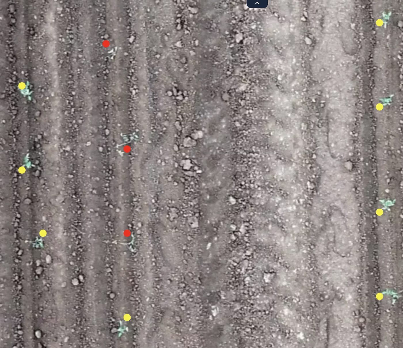
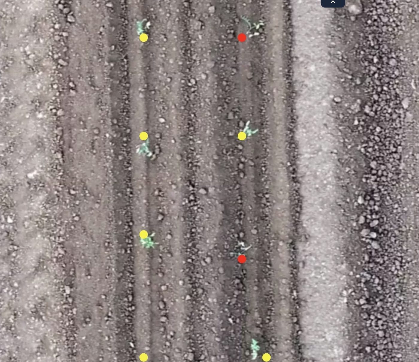
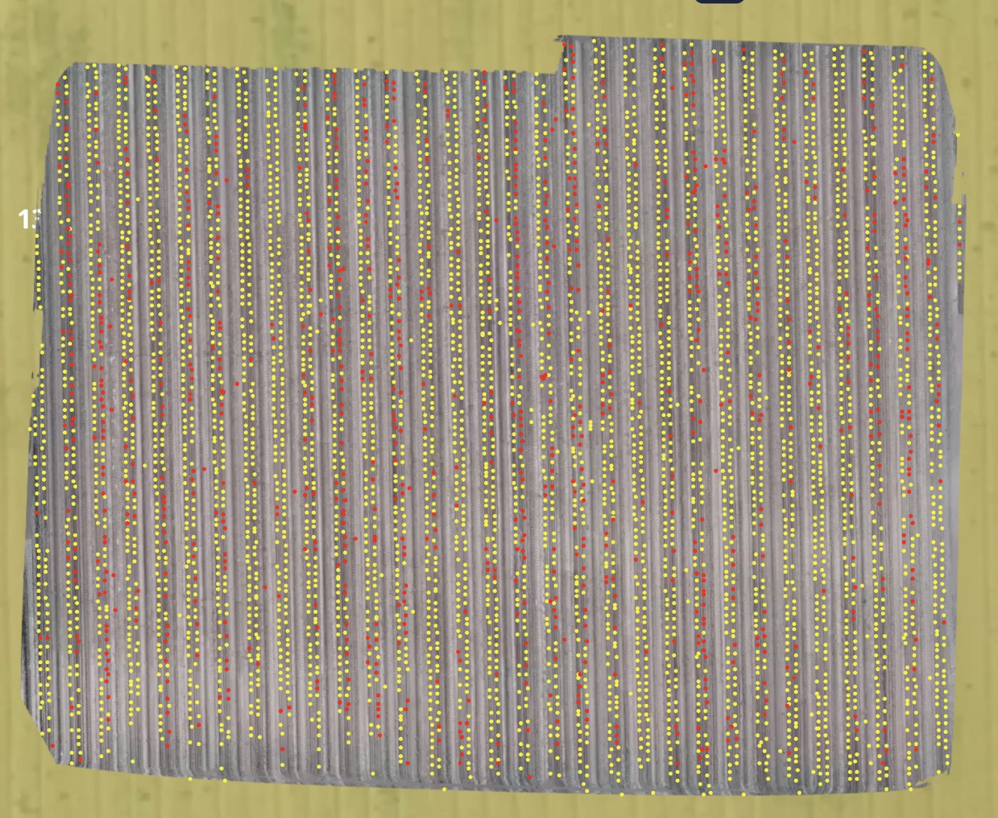
Drone orthomosaics of tomato fields were annotated with a single key point on each plant, giving a stand count and an emergence map along every row.
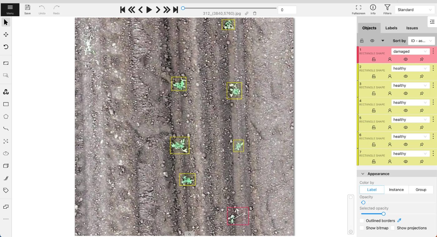
Points rather than boxes are the right primitive here. At orthomosaic scale a young plant covers only a handful of pixels, boxes on neighbouring plants would overlap constantly, and the agronomic question is how many plants there are and where the gaps fall, not how large each one is.
Work performed
- Worked the orthomosaic row by row so no stretch was covered twice or skipped.
- Placed one point at the centre of each plant crown.
- Marked gaps in the row where a plant had failed to emerge.
- Kept row order consistent so counts could be reconciled against field maps.
- Distinguished young plants from weeds growing in and between rows.
- Re-checked stretches where canopy overlap made individual plants hard to separate.
What made it hard
- Plants merge into a continuous canopy once rows begin to close.
- Weeds between rows resemble young plants at orthomosaic resolution.
- Soil clods and residue cast shadows that read as foliage.
- Orthomosaic stitching seams distort plant shape at tile boundaries.
- Exposure varies across a mosaic assembled from flights at different times.
- Counting fatigue over very long rows makes consistency the main risk.
Result
A stand count and emergence map covering the full field, with per-row counts and located gaps, accurate enough to drive replanting decisions.
Final deliverable
Delivered per-plant key points with gap markers across the orthomosaic, organised by row and ready for stand count and emergence modelling.
Related work
Aerial Orthomosaic Segmentation
Whole-site orthomosaics segmented into vegetation, water and bare ground across tiles stitched from multiple flights.
Ground Cover Quadrat Segmentation
Green cover, residue and bare soil segmented inside survey quadrats, with the quadrat frame itself located per image.
Almond Tree Detection
Bounding boxes around individual almond trees in top-down drone imagery, where shadows and neighbouring vegetation mimicked real trees.