Project overview
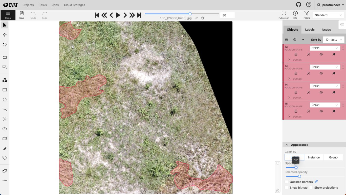
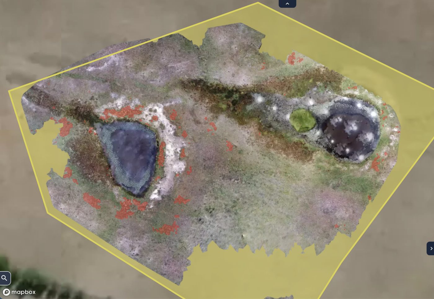
Site-scale drone orthomosaics were segmented into land cover classes across the full survey extent, including the site boundary itself.
Working at mosaic scale changes the failure modes. A single image is a consistent exposure from one moment, but a mosaic is assembled from many passes, so colour and shadow shift across the sheet and a class boundary that looks obvious in one tile is invisible two tiles over.
Work performed
- Reviewed the full mosaic before annotating to establish how each class appears across it.
- Traced the site boundary first so all subsequent work stayed inside the survey extent.
- Segmented vegetation, water and bare ground as continuous regions rather than per tile.
- Followed class boundaries through stitching seams instead of stopping at them.
- Handled exposure drift between flight passes when judging class edges.
- Verified that regions crossing tile boundaries remained single continuous polygons.
What made it hard
- Colour and exposure shift across a mosaic built from multiple flights.
- Stitching seams introduce visible discontinuities through real features.
- Standing water reflects sky and vegetation, changing appearance by pass.
- Sparse vegetation on light soil gives a gradual rather than a sharp boundary.
- The sheer extent of a site mosaic makes consistency harder than accuracy.
- Shadow from terrain and structures darkens whole regions of one class.
Result
A continuous land cover segmentation across the full site, with class regions that hold together across stitching seams and exposure changes.
Final deliverable
Delivered site-wide land cover polygons referenced to the survey boundary, continuous across tiles and ready for area computation.
Related work
Ground Cover Quadrat Segmentation
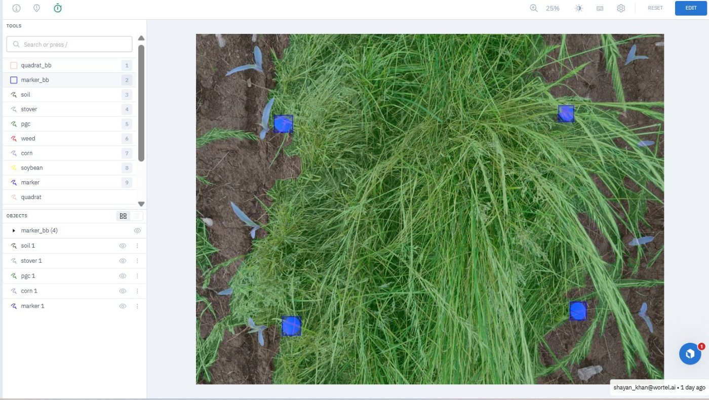
Green cover, residue and bare soil segmented inside survey quadrats, with the quadrat frame itself located per image.
Black Grass Segmentation
Polygon masks isolating black grass from crops and similar-looking grasses across dense agricultural field imagery.
Blueberry Plant Segmentation
Polygon masks tracing blueberry plants through dense foliage, overlapping branches and look-alike vegetation in open field conditions.