Project overview
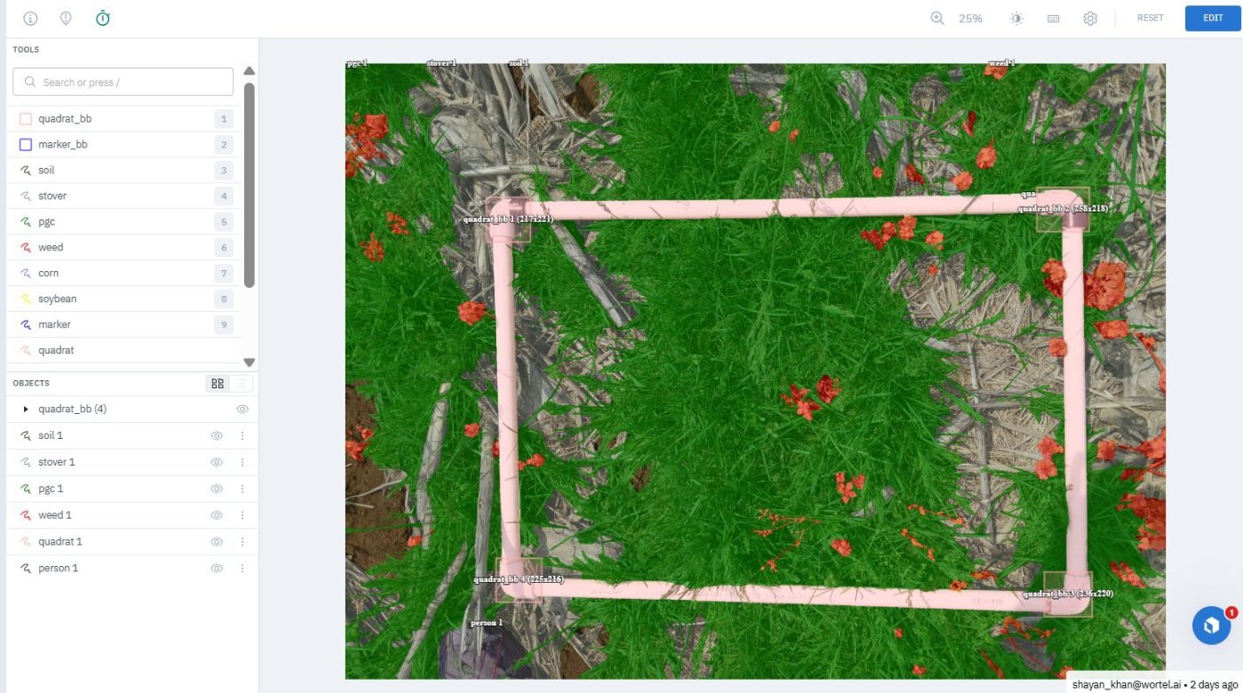
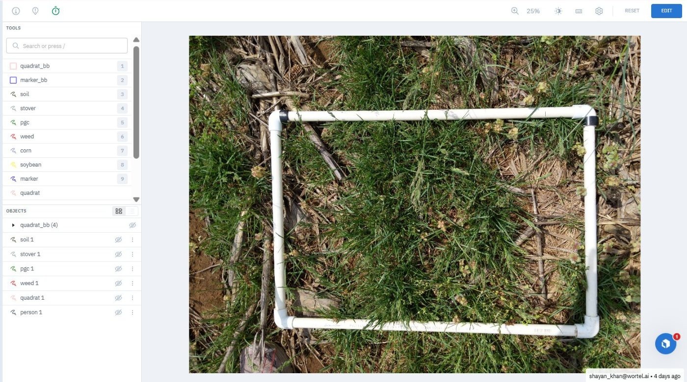
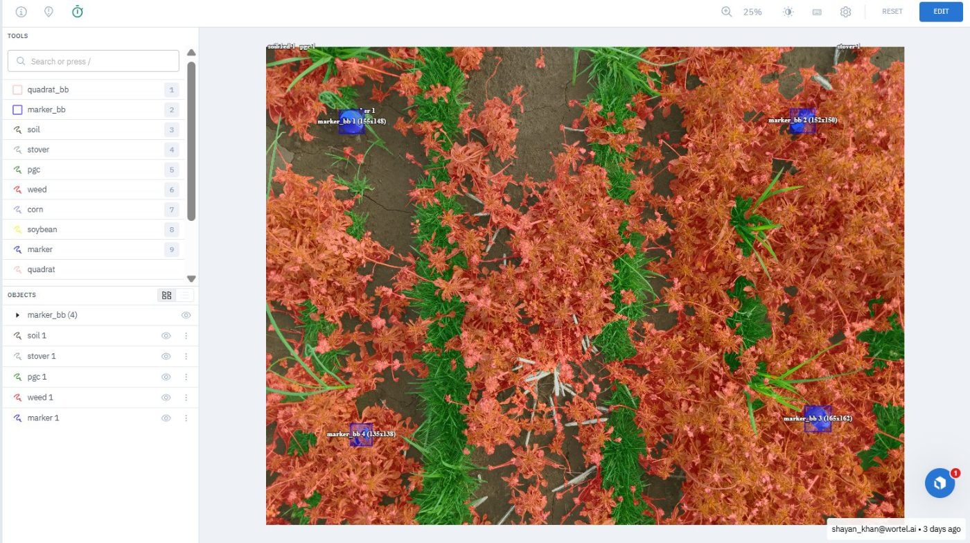
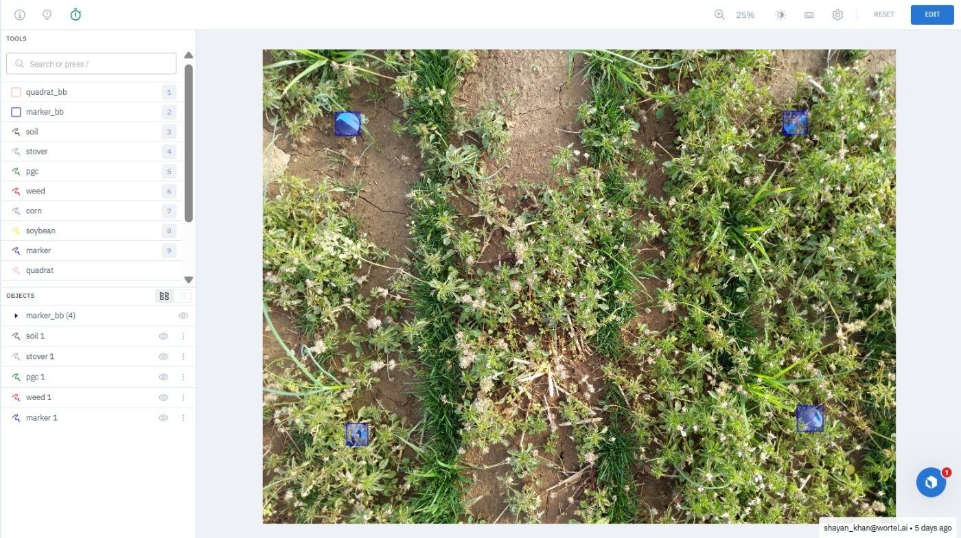
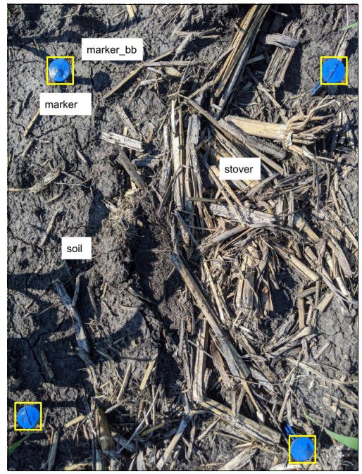
Field survey photographs were annotated to measure ground cover inside a physical quadrat frame. The frame corners were located first, then everything inside it was segmented into green cover, crop residue and bare soil.
The frame matters as much as the vegetation. Percentage cover is only comparable between plots if it is measured over the same known area, so the quadrat has to be located precisely before any cover figure means anything.
Work performed
- Located the quadrat frame in each image and marked its corners and rails.
- Segmented living vegetation inside the frame as green cover.
- Separated crop residue and straw from both living cover and bare soil.
- Traced bare soil as the remaining area rather than assuming it by subtraction.
- Excluded vegetation falling outside the frame from the cover classes.
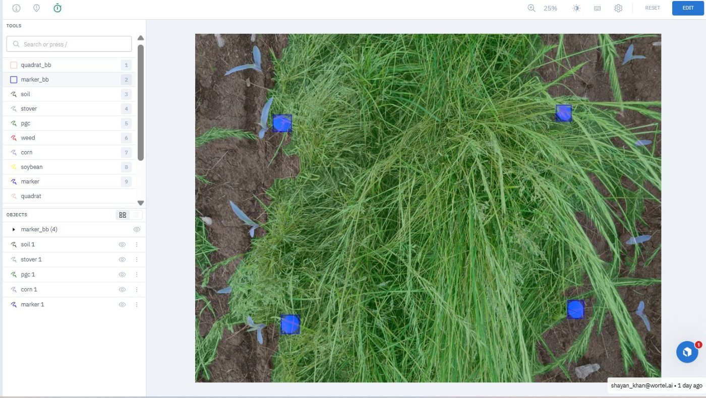
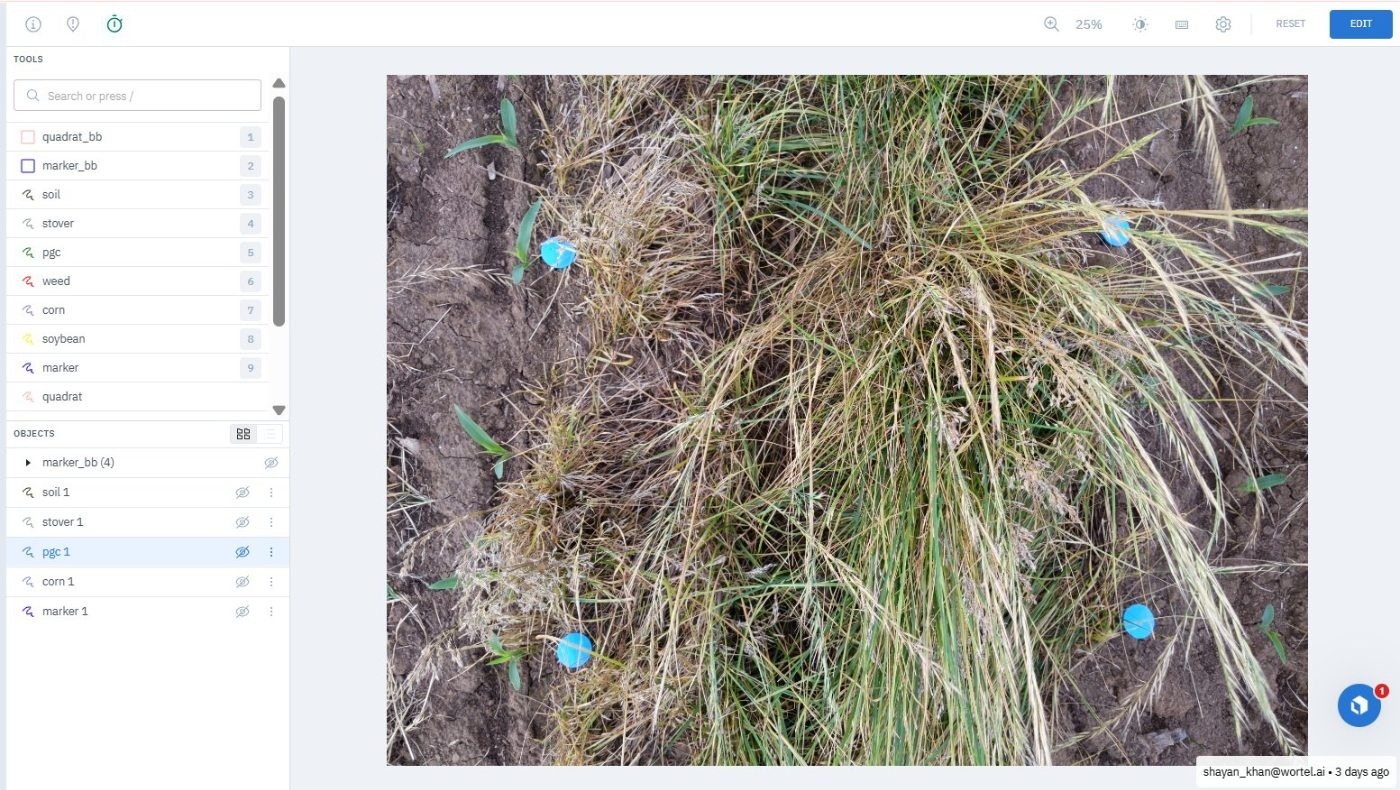
- Marked field labels and reference markers so plots stayed identifiable.
What made it hard
- Residue and dry soil are close in colour and texture under field light.
- Vegetation overhangs the frame rail, making the boundary decision ambiguous.
- The frame itself casts shadow across the area being measured.
- Fine grass structures need many vertices to trace honestly.
- Senescing plants sit between the green cover and residue classes.
- Images shot at an angle foreshorten the far half of the quadrat.
Result
A quadrat-referenced cover dataset in which percentage green cover, residue and bare soil are measurable over a known area and comparable across plots.
Final deliverable
Delivered per-image quadrat localisation with cover segmentation inside the frame, structured so cover percentages can be computed directly.
Related work
Engineering Drawing Segmentation
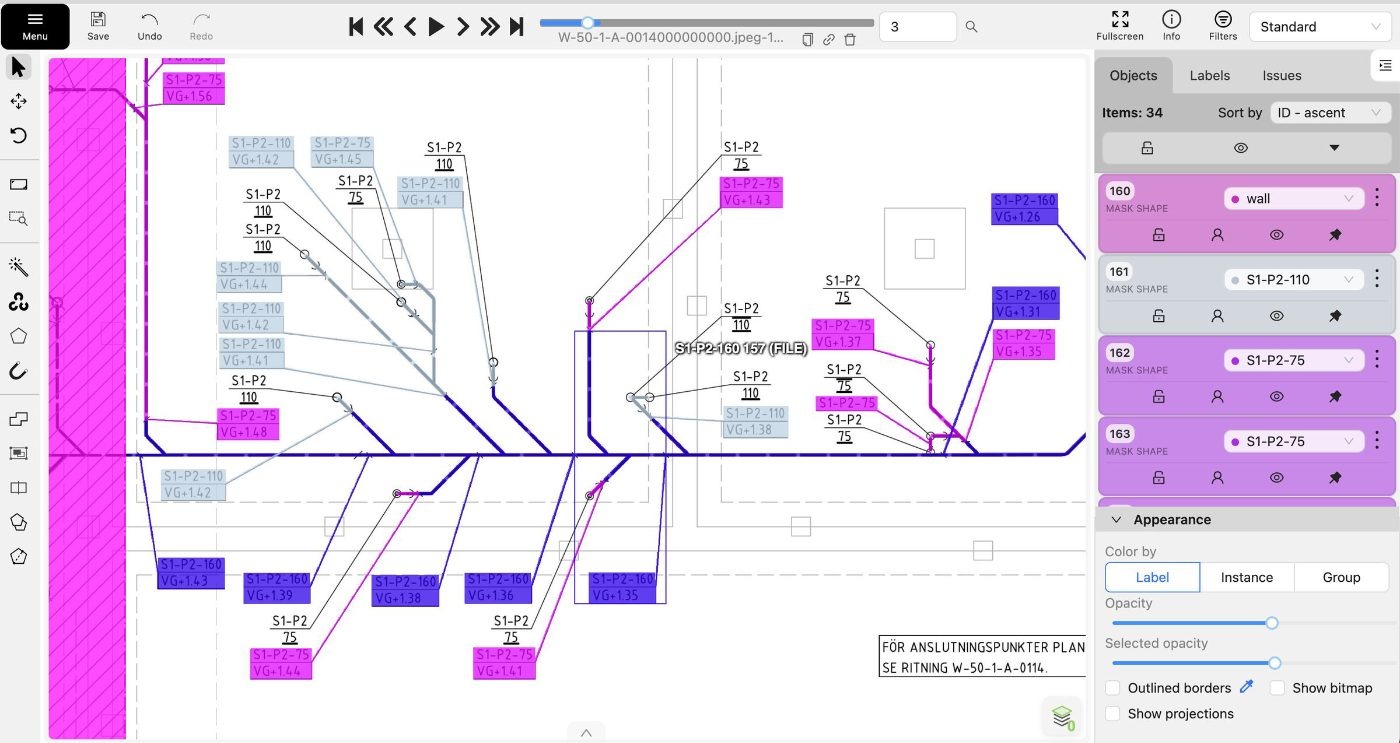
Rooms, service runs and annotation blocks marked out on CAD floor plans so drawings can be parsed automatically.
Aerial Orthomosaic Segmentation
Whole-site orthomosaics segmented into vegetation, water and bare ground across tiles stitched from multiple flights.
Face Blur & Picture Frame Detection
Picture frames masked and faces boxed in property photos, separating real faces from artwork for automatic privacy blurring.