Project overview
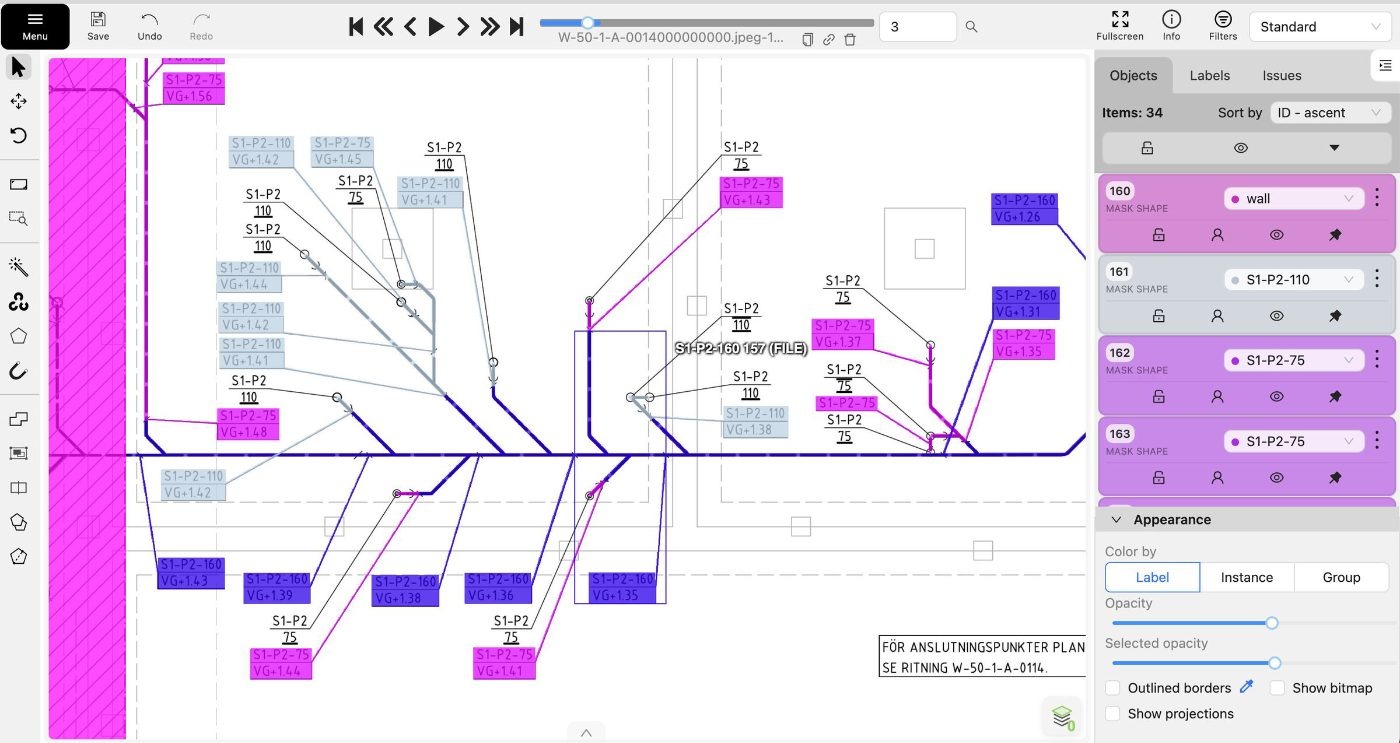
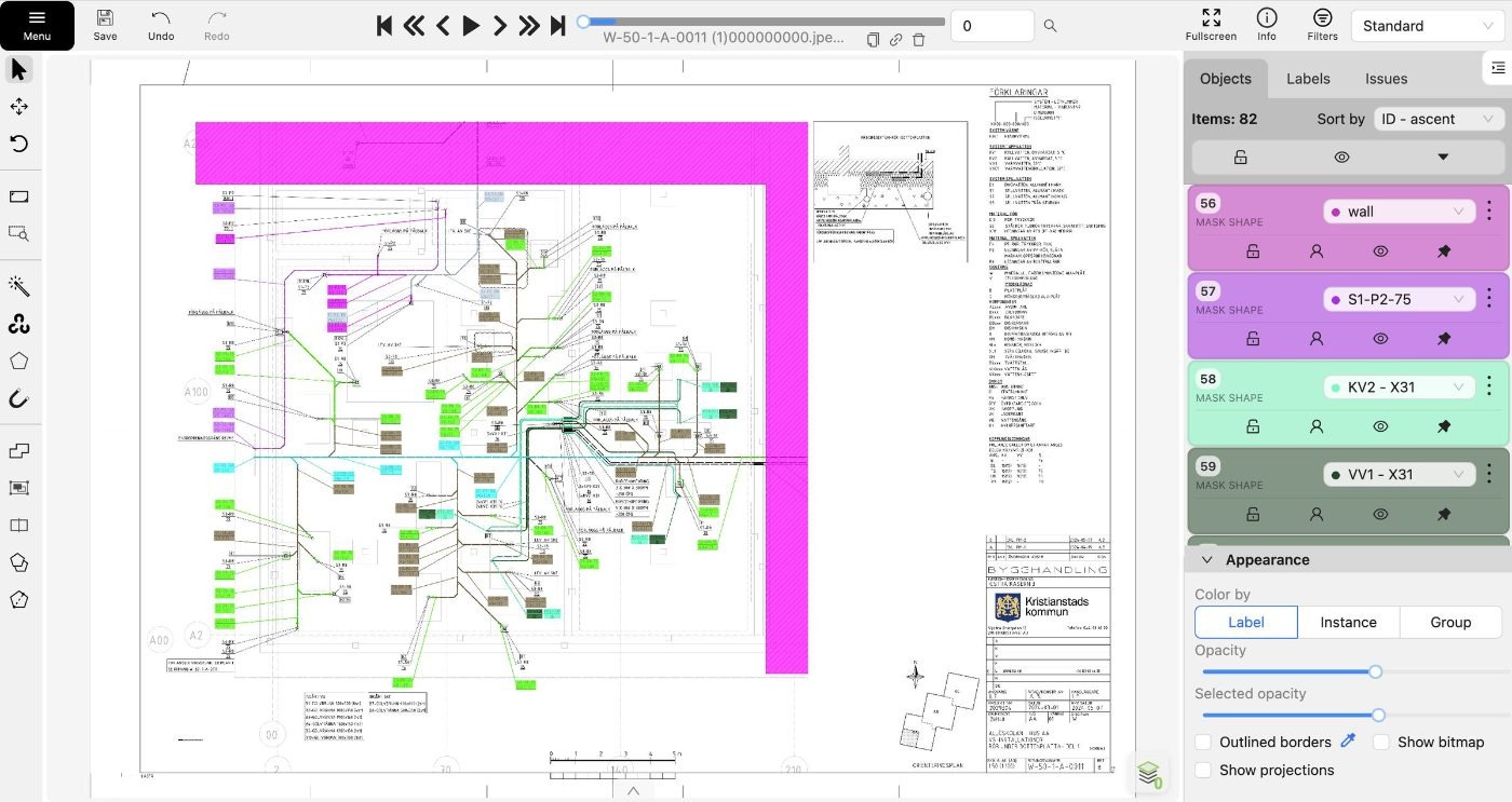
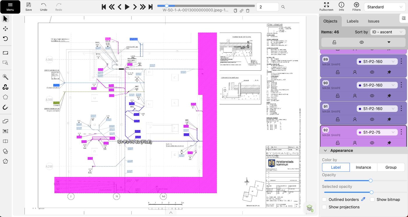
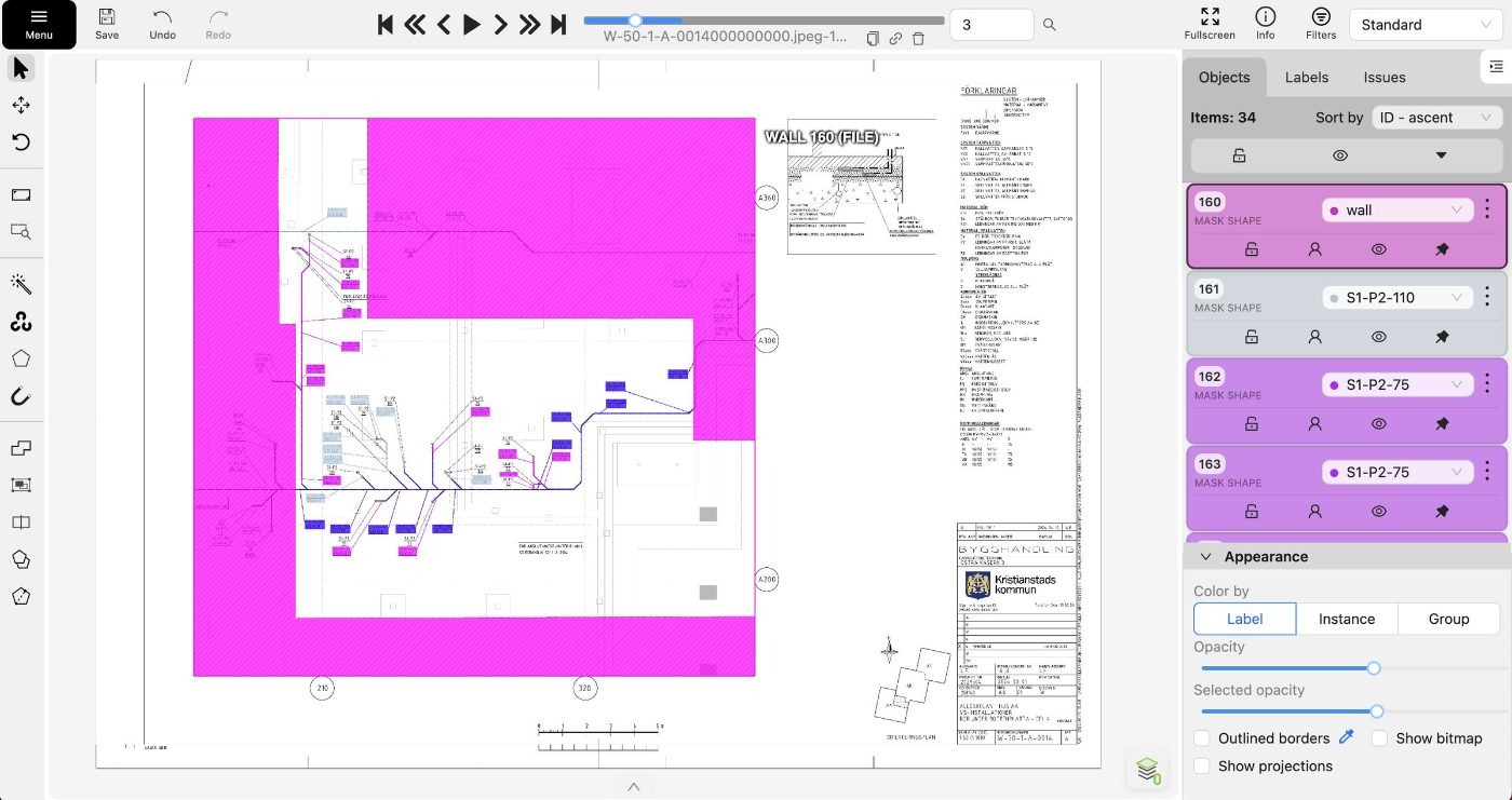
Architectural and building-services drawings were segmented so that room extents, service routes and annotation blocks could be lifted from a flat CAD export into structured data.
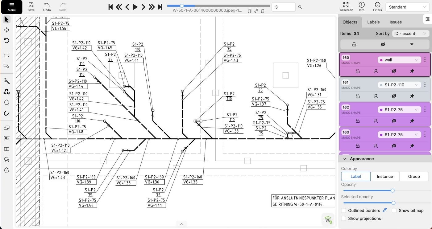
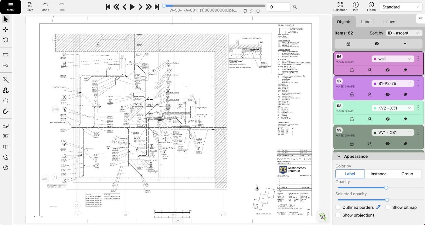
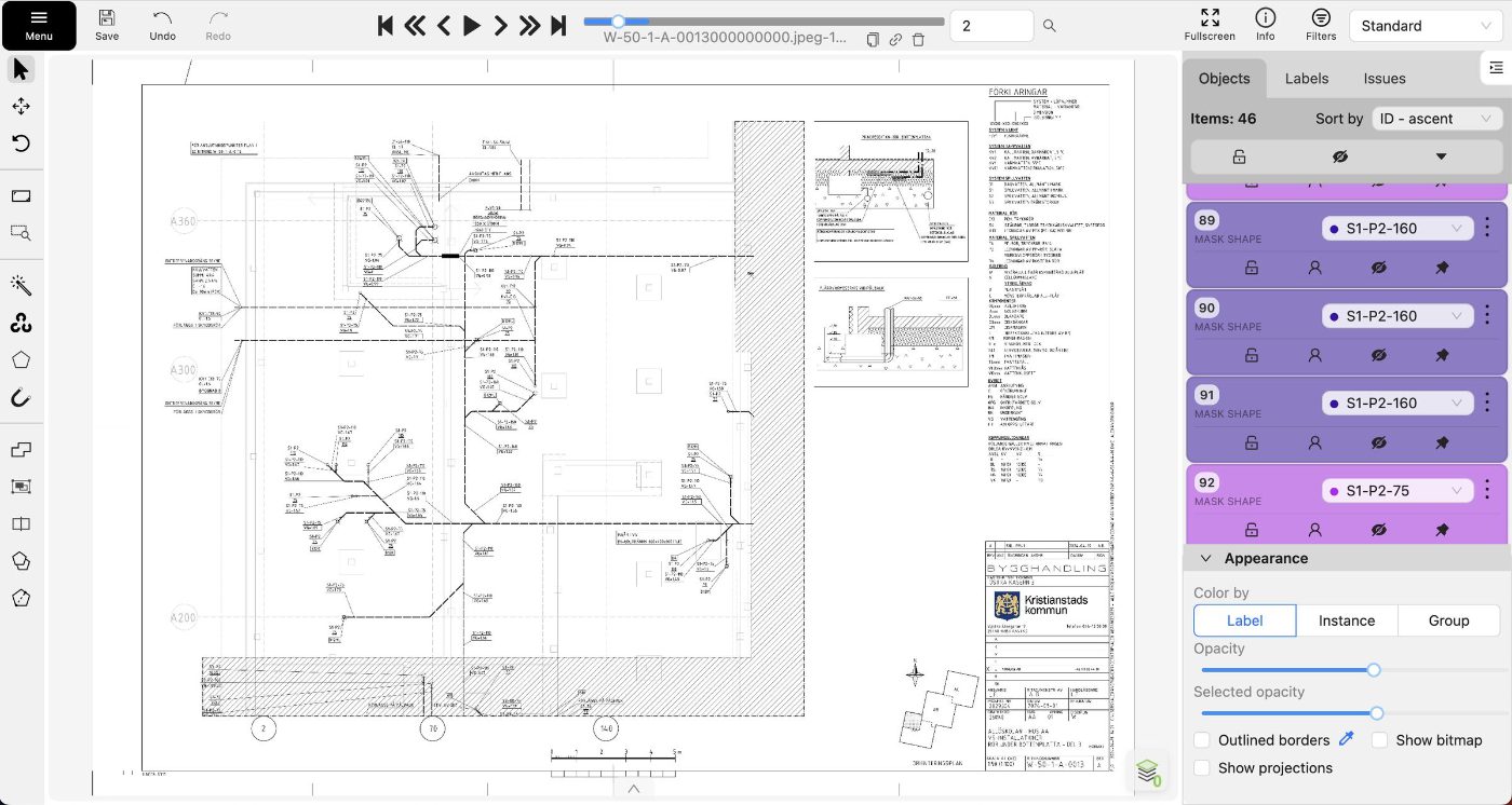
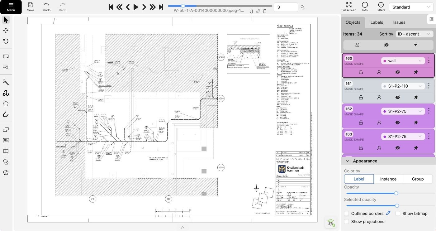
Drawings are an unusual annotation target. There is no texture or colour to separate classes, only line weight, hatch pattern and symbol convention, and a single sheet can carry several overlapping layers of information at once.
Work performed
- Read each sheet's legend before annotating so symbols were interpreted against the drawing's own convention.
- Traced room boundaries along the internal wall face rather than the centreline.
- Followed service routes through the sheet, including where they cross other line work.
- Boxed equipment symbols and dimension callouts as separate classes.
- Kept hatched and filled areas distinct from the regions they overlay.
- Reconciled ambiguous line work against the title block and revision notes.
What made it hard
- Class separation rests on line weight and hatch pattern rather than colour or texture.
- Service routes cross wall runs and dimension lines at the same pixel.
- Symbol conventions differ between sheets from different practices.
- Dense annotation zones leave very little clear space between elements.
- Scanned and re-exported sheets carry compression artefacts along thin lines.
- Room boundaries are implied by wall geometry rather than drawn as a closed shape.
Result
A drawing segmentation set that lets downstream tooling recover room extents and service layouts from flat sheets, with layered information kept separate rather than flattened together.
Final deliverable
Delivered per-sheet polygon and box annotations with a consistent class scheme, checked against each drawing's legend and title block.
Related work
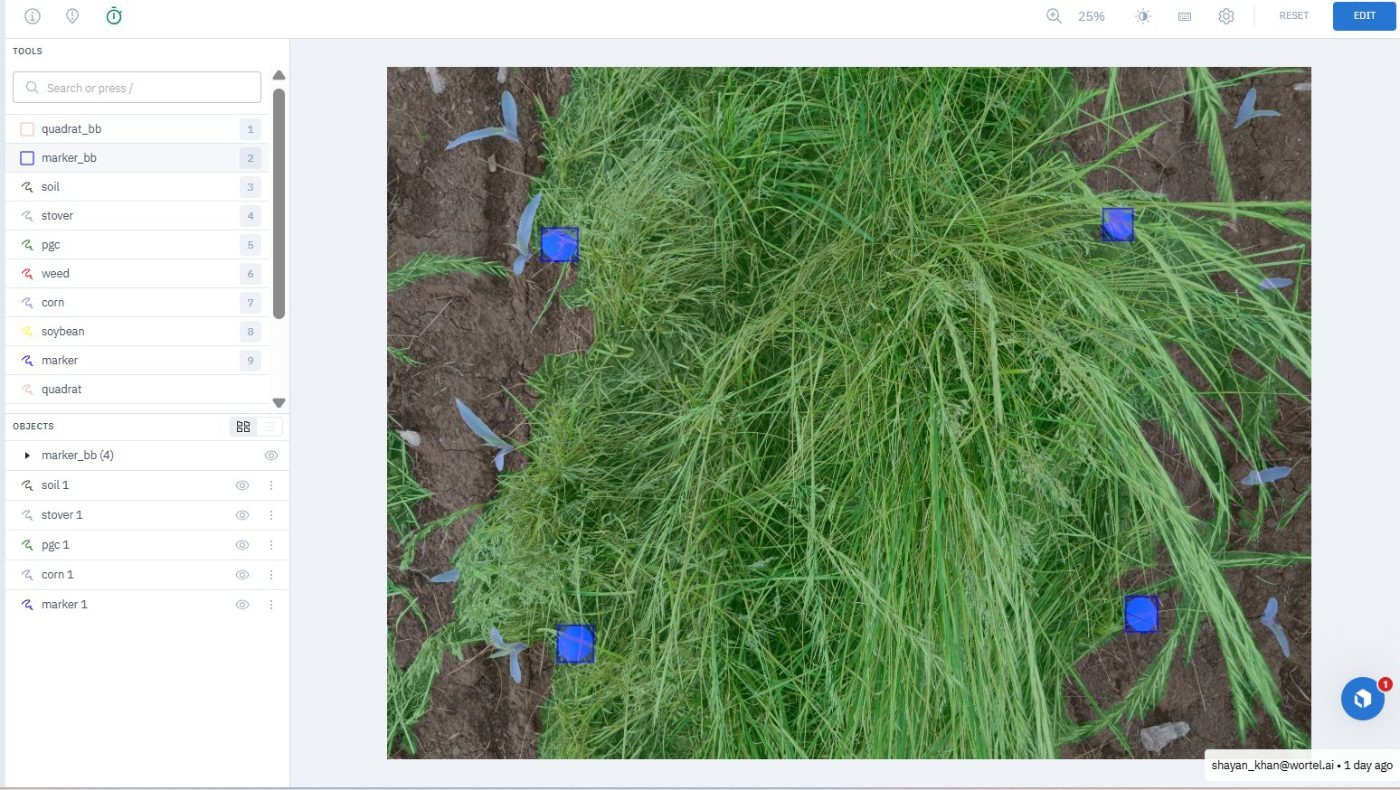
Ground Cover Quadrat Segmentation
Green cover, residue and bare soil segmented inside survey quadrats, with the quadrat frame itself located per image.
Face Blur & Picture Frame Detection
Picture frames masked and faces boxed in property photos, separating real faces from artwork for automatic privacy blurring.
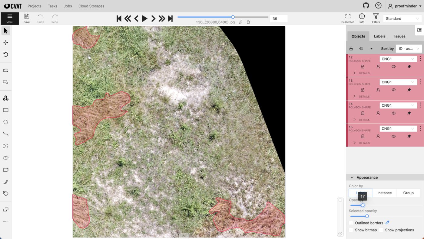
Aerial Orthomosaic Segmentation
Whole-site orthomosaics segmented into vegetation, water and bare ground across tiles stitched from multiple flights.