Sample frames for this project are available under NDA. Write to bilal@wortel.ai and we will share the relevant before and after pairs.
Project overview
Aerial drone images of almond orchards were annotated for a computer vision dataset focused on detecting individual almond trees. The work involved identifying visible almond trees from aerial imagery and creating accurate bounding box annotations around each one.
The dataset was prepared as training data for an AI-based object detection model designed to detect almond trees automatically from drone-captured images.
Work performed
- Reviewed and organised the aerial drone imagery before annotation began.
- Identified individual almond trees from top-down images.
- Created accurate bounding boxes around every visible almond tree.
- Maintained consistent labelling using the Almendros Tree class.
- Tree locations and surrounding areas were examined carefully before annotations were assigned.
- Quality checks were carried out to catch missed or inaccurate bounding boxes.
- Annotations were confirmed as suitable for object detection model training.
What made it hard
- Drone-captured aerial imagery showed trees only from a top-down perspective.
- Tree shadows closely resembled actual trees and had to be excluded.
- Separating target almond trees from nearby trees and vegetation proved difficult.
- Rows of trees placed multiple objects very close together.
- Soil, vegetation, shadows and other objects made the aerial imagery visually complex.
- Variations in tree size, position and appearance complicated accurate box placement.
Result
A high-quality almond tree detection dataset was completed with accurate bounding box annotations throughout. The dataset was prepared to train a computer vision model capable of detecting almond trees automatically in aerial drone imagery.
Final deliverable
Accurately annotated aerial images were delivered with bounding boxes around individual almendros trees, with consistent labelling and annotation quality maintained across the dataset. The final dataset met the project requirements and was ready for AI model training and agricultural computer vision applications.
Related work
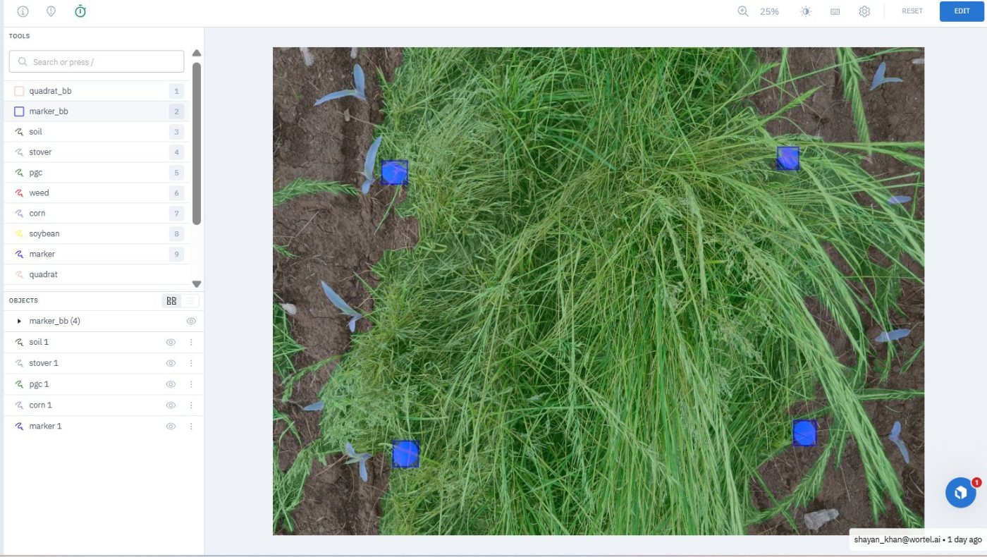
Ground Cover Quadrat Segmentation
Green cover, residue and bare soil segmented inside survey quadrats, with the quadrat frame itself located per image.
Apple Detection
Bounding boxes around individual apples on tree branches, where dense leaves and occlusion hid much of each fruit.
Broccoli Stand Count
Bounding boxes on individual broccoli plants for automated stand counting, separating closely packed plants from surrounding weeds.