Sample frames for this project are available under NDA. Write to bilal@wortel.ai and we will share the relevant before and after pairs.
Project overview
Agricultural field images were annotated for a computer vision dataset focused on segmenting rape plants and soil in real-world field environments. The project involved creating precise segmentation masks for both vegetation and soil areas to generate high-quality training data for an AI-based segmentation model.
The main objective was to enable the model to distinguish rape plants from soil and surrounding field areas under different agricultural conditions.
Work performed
- Reviewed and organised the agricultural field image dataset before annotation.
- Visible rape plants were identified throughout the field images.
- Precise polygon segmentation masks were created around the plants.
- Visible soil areas were segmented separately using the soil class.
- Consistent labelling was maintained between vegetation and soil.
- Plant boundaries were followed closely so surrounding soil stayed out of the rape masks.
- Annotated partially visible plants where applicable.
- Different plant sizes, growth stages and field conditions were handled individually.
- Quality checks corrected inaccurate or incomplete segmentation masks.
- Confirmed the final annotations were consistent and suitable for model training.
What made it hard
- Differentiating rape plants from other vegetation and weeds.
- Separating plants precisely from the surrounding soil took careful work.
- Small plants during early growth stages were hard to isolate.
- Dense or overlapping plants made individual boundaries difficult to identify.
- Uneven soil surfaces and natural field textures complicated soil segmentation.
- Varied lighting conditions and shadows affected plant and soil visibility.
- Partially visible plants required careful polygon placement.
- Keeping precise boundaries between the rape and soil classes required significant attention to detail.
Result
A high-quality rape plant and soil segmentation dataset was completed with accurate polygon annotations. The dataset was prepared for training a computer vision model able to distinguish rape plants from soil in agricultural field environments.
Final deliverable
Accurate and consistent segmentation masks were delivered for both the rape and soil classes throughout the dataset. The final annotations met the project requirements and were ready for AI model training and agricultural crop monitoring applications.
Related work
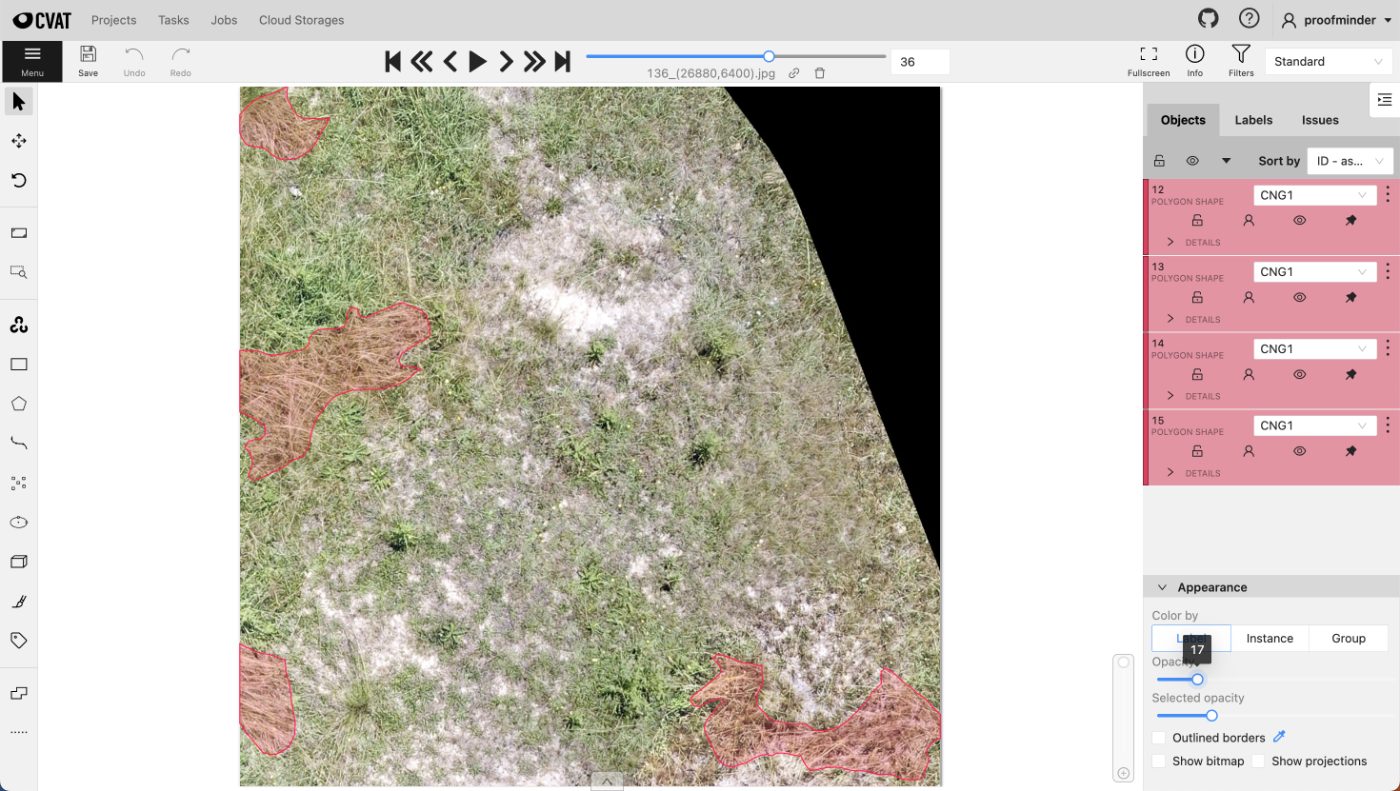
Aerial Orthomosaic Segmentation
Whole-site orthomosaics segmented into vegetation, water and bare ground across tiles stitched from multiple flights.
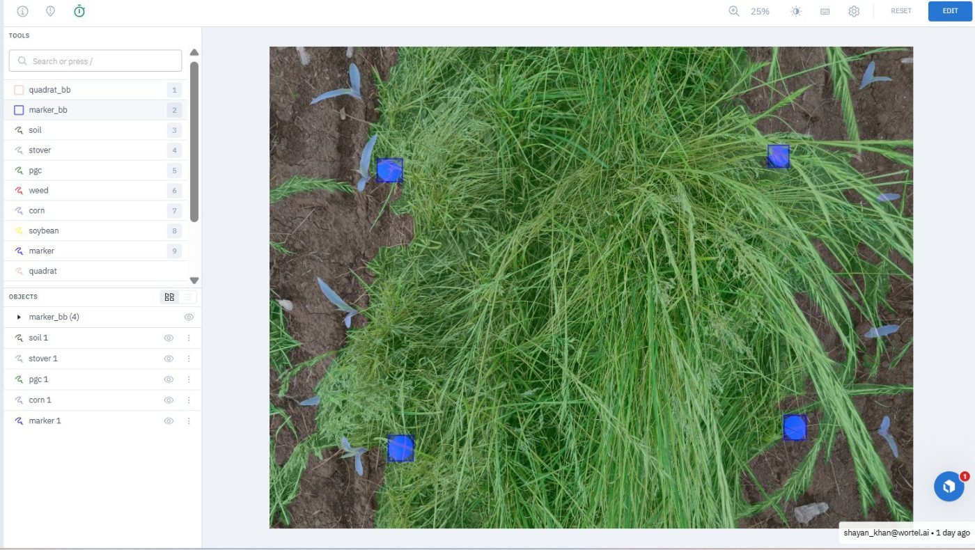
Ground Cover Quadrat Segmentation
Green cover, residue and bare soil segmented inside survey quadrats, with the quadrat frame itself located per image.
Black Grass Segmentation
Polygon masks isolating black grass from crops and similar-looking grasses across dense agricultural field imagery.